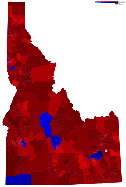
Here’s the 2016 Presidential General Election Map of Idaho by Precinct.
There are a couple blue blobs in the state. (Latah and Blaine counties). But his map shows not just the county outcomes but precinct ones. So you can see Sand Point and Cd’A. I think that’s the New Perce Indian Reservation that is blue as well.
Via Ryne Rohla
